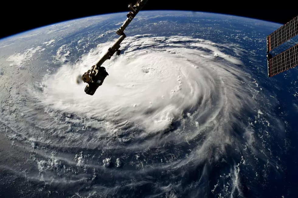
Hurricane Katrina 14 Years Later
2005 was a year that lives in meteorological infamy. It’s the year that Hurricane Katrina temporarily drowned New Orleans.
Thursday is the anniversary of Hurricane Katrina making landfall in Louisiana. The storm cost over $125 billion dollars in damage and is tied for the costliest tropical cyclone on record.
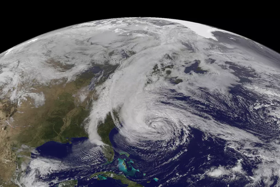
Katrina originated near the Bahamas on August 23 and eventually hit Florida as a category 1 hurricane on August 24. From there the storm moved back into the warm waters of the Gulf of Mexico and strengthened. The storm grew into a monster category 5 hurricane.
On August 28, Katrina gained category 5 status with maximum winds at 175 mph. At its strongest, Katrina ranks as fifth most intense by pressure. It held the record for the strongest hurricane ever recorded in the Gulf of Mexico but was later surpassed by Hurricane Rita.
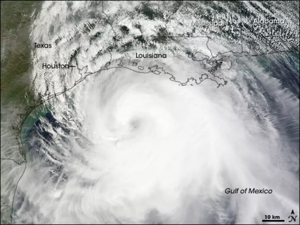
The storm made its second landfall near New Orleans as a category 3 with sustained winds of 125 mph. From there the storm moved to the north into the Ohio River valley and dissipated on August 31.
The storm killed over 1200 people, most of which in the state of Louisiana. The storm also was responsible for 2 deaths as far north as Ohio.
The worst part of the storm wasn’t the winds or the 10 inches of rain that fell, but the bigger issue was storm surge. Over 50 levees failed or were breached when Katrina hit. This was later found to be a design issue. The other issue is the terrain in the area. New Orleans and southern Louisiana are below sea level. New Orleans averages around one foot below sea level, but areas between the Mississippi River and Lake Pontchartrain are closer to 10 feet below sea level. Levees help keep the water out, but when water gets in, it’s especially hard to get it out.
This storm was very well forecasted by meteorologists, and well prepared for by officials. However, the size, strength and storm surge from this storm was unavoidable.
More From 107-3 KISS-FM